C4Real - B2B Visual Communication Studio

Contact

Contact

How do you make participation under the Environment and Planning Act understandable using visualisations?

Participation only works if people understand what they are contributing to. Here is how you can use 3D, interactive models, and VR in each phase.


Ton Kuper

By

By

By

Ton Kuper

Ton Kuper

Ton Kuper

Founder & managing director

Founder & managing director

Founder & managing director

Ton Kuper on LinkedIn
area development Haarlemmermeer

Under the Environment and Planning Act, when applying for a permit, an initiator indicates whether, and if so how, local residents and other stakeholders have been involved. Municipal councils can make public participation mandatory for certain non-statutory environmental plan activities. Participation only yields useful input if people understand what they are contributing to. 3D visualisations, interactive models, and VR present the plan from the resident's perspective: from their own garden, street, or cycle route. As a result, feedback becomes more specific and the dialogue more genuine.

What does the Environment and Planning Act require regarding participation?

The Environment and Planning Act (Omgevingswet) has been in force since 1 January 2024. For participation regarding an environmental permit, an application requirement applies: the initiator must state whether participation took place, how it was approached, and what the outcomes were. In most cases, participation itself is not mandatory. However, the competent authority may take its content into account in the decision.

There is one exception. In the case of an out-of-plan environmental plan activity (an initiative that deviates from the municipal spatial plan), the municipal council can designate in advance cases where participation is mandatory (Article 16.55, paragraph 7). Many municipalities have now established a list for this.

For authorities themselves, a duty to substantiate applies to instruments such as the spatial vision, the programme, and the municipal spatial plan: they must explain how citizens, businesses, and organisations were involved.

The law therefore primarily regulates that you account for your actions, not how you organise participation. Which rules apply in your municipality is set out in the local participation policy.


gebiedsontwikkeling amsterdam centraal

Why does participation often stall due to a lack of understanding?

A site layout plan, cross-section, or construction drawing is made for professionals. A resident sees lines and hatching, but no answer to their own question: will I still get sunlight in my garden, how tall will that mast be, where will the construction traffic go?

Those who cannot read the plan fill in the gaps themselves. Usually with the worst-case scenario. As a result, part of the resistance at information evenings is directed at a plan that no one actually made.

In addition, every group has different questions. Local residents want to know what changes regarding their views, light, and noise. Business owners look at accessibility during construction. Council members want an overview and clarity on the choices before them. A single set of drawings cannot answer all those questions at the same time.


Which visualisation suits which phase?

Not every phase calls for VR. Choose the format based on the question at hand.

Exploration. This phase is about determining which options are available. Simple side-by-side 3D variants make the choices comparable. A short explainer animation shows how the process unfolds and when the local community can have their say.

Design. Now people want to know what it will look like. A 3D visualisation from eye level shows the plan as a resident will see it in the future. With an interactive model, people can look around for themselves, from their own street or garden.

Decision-making. The question becomes: what does this mean for my surroundings? A VR experience at an information evening lets people experience the new situation at true scale. A comparison of the current and the new situation from the same vantage point makes the difference immediately visible.

Execution. During construction, it is all about how people will be affected. An animation of the construction phasing shows when roads will be closed and where construction traffic will travel. With AR on site, local residents can see right there what is coming.

The 3D model from the design phase can be reused in later phases. That saves costs and ensures everyone is always looking at the same plan.


What should you look out for with visualisations for participation?

Show an honest picture. A participation visualisation is not a sales brochure. Realistic scale, light, and season are more important than a sunny picture. An image that is too polished costs trust as soon as the first construction barrier goes up.

View from eye level. A bird's-eye view provides an overview, but residents judge a plan from their own window or street. Choose vantage points that they recognise.

Only show variants if there is genuine room for choice. If you present three options when a decision has already been made, participation feels like a hollow exercise.

Ensure accessibility for everyone. Not every resident will put on a VR headset. Offer the same view as a video or image on the project website and in a letter as well.

Consider reusability. A single, well-built 3D model serves the residents' evening, the council proposal, the project website, and communications during construction.

How C4Real helps with this

We do not start with the technology, but with the question of which stakeholder needs to understand what. In the concept phase, we work together to determine which images, vantage points, and formats are needed. Production follows: from 3D visualisations and interactive models to VR experiences.

You can read more about our approach to spatial and environmental projects on the Area Development page.


Case study in the spotlight

Case study: high-voltage pylons in VR for Qirion

When replacing high-voltage pylons, the impact on the landscape is difficult to imagine. A pylon on a drawing tells a local resident little about how it will look from their own property.

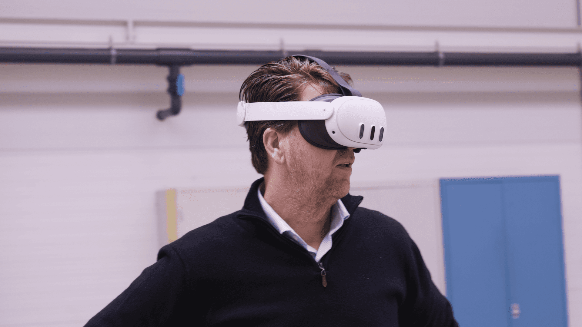
For Qirion, C4Real built a VR application in which stakeholders can view the new pylons in a realistic 3D environment, as if they are already there. This allows residents and other stakeholders to discuss the actual situation rather than an assumption.

Qirion on the result: "The VR application helped us present our plans to all stakeholders in a clear and compelling way."

Qirion VR Case Study