Sector
Infra
From technical plan to understandable image. For contractors, engineering firms, grid operators and municipalities who need to explain complex infrastructure projects to everyone involved.
Free consultation
Free consultation

Companies we have successfully helped


The specialist in visualisations for infrastructure
Your visualisation partner for more support
Infrastructure projects always affect more people than just the client. Residents who worry about disruption. Municipalities that need to account for decisions. Contractors who must execute the plans. And stakeholders who need to co-decide on something they cannot see yet.
Technical drawings and reports explain what is going to happen. They do not show it. C4Real translates infrastructure plans into 3D animations, VR experiences and interactive visualisations that everyone understands, regardless of their technical background. We have done this for the likes of ProRail, Gemeente Haarlemmermeer and Qirion.
Get in touch
Get in touch

Cases
Discover our successful projects






Why visualisations are essential
Visualisations create understanding, support, and a more efficient process.
Infrastructure projects are a interplay of interests, expectations and emotions. Technical plans are difficult for residents and policy makers to follow, leading to uncertainty and delay. With 3D animations, interactive visualisations and VR, C4Real makes infrastructure plans tangible for everyone in the chain, from environmental managers to community consultation evenings.
For the Municipality of Haarlemmermeer, we translated the potential extension of the Noord/Zuidlijn into a 3D animation. The route runs via the Schiphol Tunnel and Schiphol Plaza to Amsterdam Zuid and, until then, consisted mainly of maps and policy documents. By showing the area from the perspective of a future passenger, directors and residents were given a concrete visual for the first time to conduct the conversation about support and participation.
ProRail and Deltares are researching whether railway embankments on soft soil can handle heavier and faster trains in a changing climate. Our 3D animation, incorporating 2D explanations, explains this research to internal and external stakeholders in a consistent manner every time. External news channels also used the animation in their reporting.
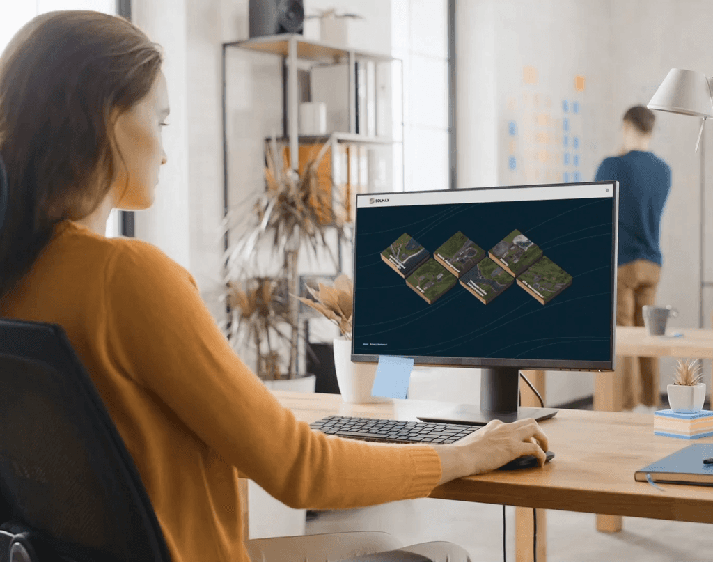
With Qirion, we developed a VR application in which stakeholders can experience new high-voltage pylons in their environment as if they were already there. We also work for suppliers to the infrastructure sector: for Fugro, we created the launch animation of Gaia Insight, a platform for geotechnical and structural insights. For Solmax, we built a virtual showroom that brings together over 100 geosynthetics products in one place.
The result: better understanding, more support and a decision-making process that does not get bogged down by misunderstanding.
Get in touch
Get in touch
Success stories
What our customers say about us


Our Services
With the use of visual technologies that make the difference
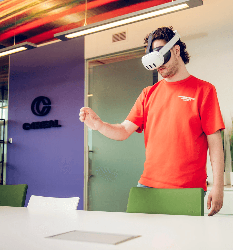
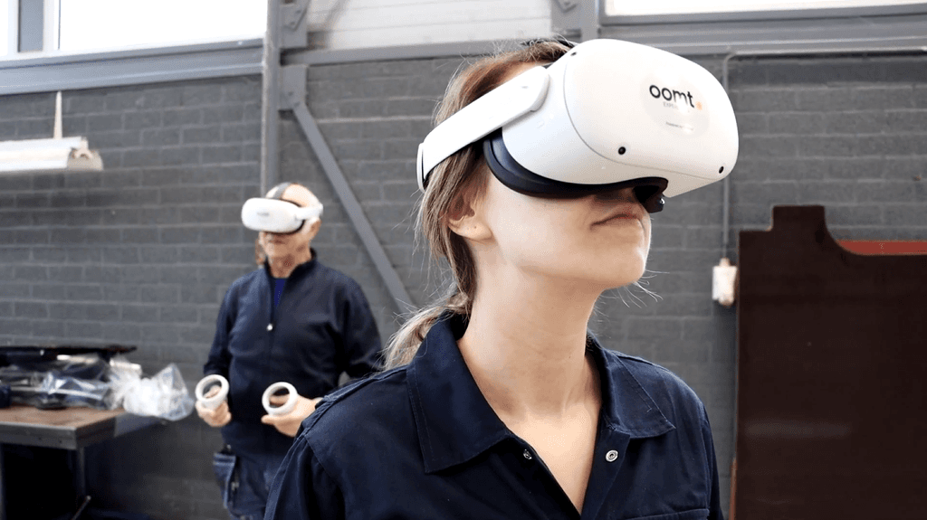
At C4Real, we use 3D animations, interactive visualisations, VR and AR to make infrastructure projects clear and open to discussion. A 3D animation provides a clear overview for a broad audience. An interactive visualisation makes different variants comparable. VR allows stakeholders to experience the project as it will look in the future. AR displays plans on-site in the real environment. This way, we always choose the approach that best fits the communication challenge.





Frequently asked questions
Answers to the most frequently asked
questions about infra visualisations
What are the benefits of 3D visualisation and VR for infra projects?
Visualisations make infrastructure plans understandable for everyone in the chain, from environmental manager to resident, and from tendering authority to contractor. This delivers three tangible benefits. Greater support: residents and stakeholders who can see a plan ask fewer questions based on assumptions and engage more quickly with the process. Faster decision-making: when everyone shares the same vision, consultations are more efficient and the decision-making process is less likely to stall. Demonstrable transparency: municipalities and project organisations that use visualisations in participation processes can show they take their communication obligations seriously, which is becoming increasingly important under the Environment and Planning Act.
How does a 3D animation or VR experience support the participation process under the Environment and Planning Act?
The Environment and Planning Act obliges municipalities and property developers to engage in early and transparent participation. A 3D animation shows residents what is going to change, long before the first pile is driven into the ground. A VR experience goes further: stakeholders experience the new situation as if it is already there. This makes participation substantive, demonstrably transparent and less susceptible to objections based on assumptions. For the Municipality of Haarlemmermeer, a 3D animation of the North/South Line became a conversation tool for the board and residents.
When do you choose a 3D animation and when do you choose VR for an infrastructure project?
A 3D animation is the right choice if the message needs to be widely distributed: at a residents' evening, via a website, in a press release or on social media. The animation works on any device and at any time, without extra hardware. VR is the right choice when the experience is decisive: when stakeholders really need to feel the impact of a project in order to make a decision. Think of new high-voltage pylons in a residential area like Qirion, a new motorway through a landscape area or a large-scale area transformation. VR requires an organised moment, but the effect on understanding and support is significantly greater than with an animation alone.
How do you use an interactive visualisation for a spatial planning vision or zoning plan?
With a spatial planning vision or zoning plan, residents and stakeholders must form an opinion on plans that span a large area and a long time horizon. An interactive visualisation makes this possible: users can navigate through the area themselves, compare different scenarios, and instantly see the impact of choices on the environment. This gives substance to the participation process, makes the municipality's trade-offs transparent, and lowers the barrier for residents to contribute constructively instead of just reacting to what they fear.
How does a visualisation project at C4Real work?
C4Real works in two phases. In the first phase, concept and design, we translate the communication issue into a visual approach. We determine which format works best, which message is central, and how the target group can best be reached. At the end of this phase, C4Real delivers a concrete concept for the client to feedback on. Only then does the second phase begin: production. This approach keeps the scope clear, prevents surprises afterwards, and gives the client a say at a stage when adjustments are still easy to make.
What does a 3D visualisation or VR experience cost for an infrastructure project?
The costs depend on the complexity of the project, the desired level of detail, and the application. A 3D animation for a residents' evening requires a different investment than a fully interactive VR environment for a long-term participation process. C4Real works with a menu of solution levels, ensuring there is always an approach that fits the budget and the communication objective. Please contact us for an informal discussion.