Sector
Marine & Offshore
From geotechnical data to marine systems: we make offshore, geo and marine construction visually understandable for clients, investors and technical teams.
Free consultation
Free consultation

Companies we have successfully helped


The specialist in visualisations for Marine & Offshore
Your visualisation partner for offshore and marine construction
Marine and offshore projects largely take place underwater, underground, or far out at sea. Geotechnical sensor technology literally works underground. A marine propulsion system is hidden inside the hull of a ship. Offshore wind farms are built in locations that most stakeholders never visit. This makes it difficult to convey the value of a technology or project to customers, investors, and exhibition audiences.
This gap costs time in the sales process and delays the moment when a market embraces a new technology. C4Real makes marine and offshore technology that you cannot see or reach visible with 3D animations and interactive visualisations. For example, we worked for Fugro, RH Marine and Thales on material for product launches, international trade fairs, and tenders.
Get in touch
Get in touch

Cases
Discover our successful projects



Why visualisations are essential
Visualisations make invisible technology visible.
In the marine and offshore sector, you often sell technology that is invisible. Sensors that measure underground. Systems housed inside the hull of a vessel. To convey their value, a datasheet is not enough.
For Fugro, we created the 3D animation for the global launch of Gaia Insight. The animation shows how the platform aggregates different types of geo-information, enabling users to make the right decisions faster. Following the launch, Fugro received many inquiries, and international media from Switzerland to Australia picked up on the platform.
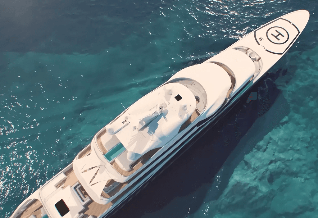
For RH Marine, we created 3D animations of marine electrical engineering, both for naval vessels and for private yachts. As a result, visitors to international trade fairs understand at a single glance how the systems work. According to RH Marine, this led to more leads and more effective conversations.
For the Royal Navy's T31e tender, we produced an animation for Thales explaining the frigate solution offered by the Team 31 consortium. Thanks in part to that animation, the bid was won.
The result is always the same: technology that is invisible becomes visible. A sales pitch gets straight to the point much faster, and a launch gains immediate attention.
Get in touch
Get in touch
Success stories
What our customers say about us


Our Services
With the use of visual technologies that make the difference
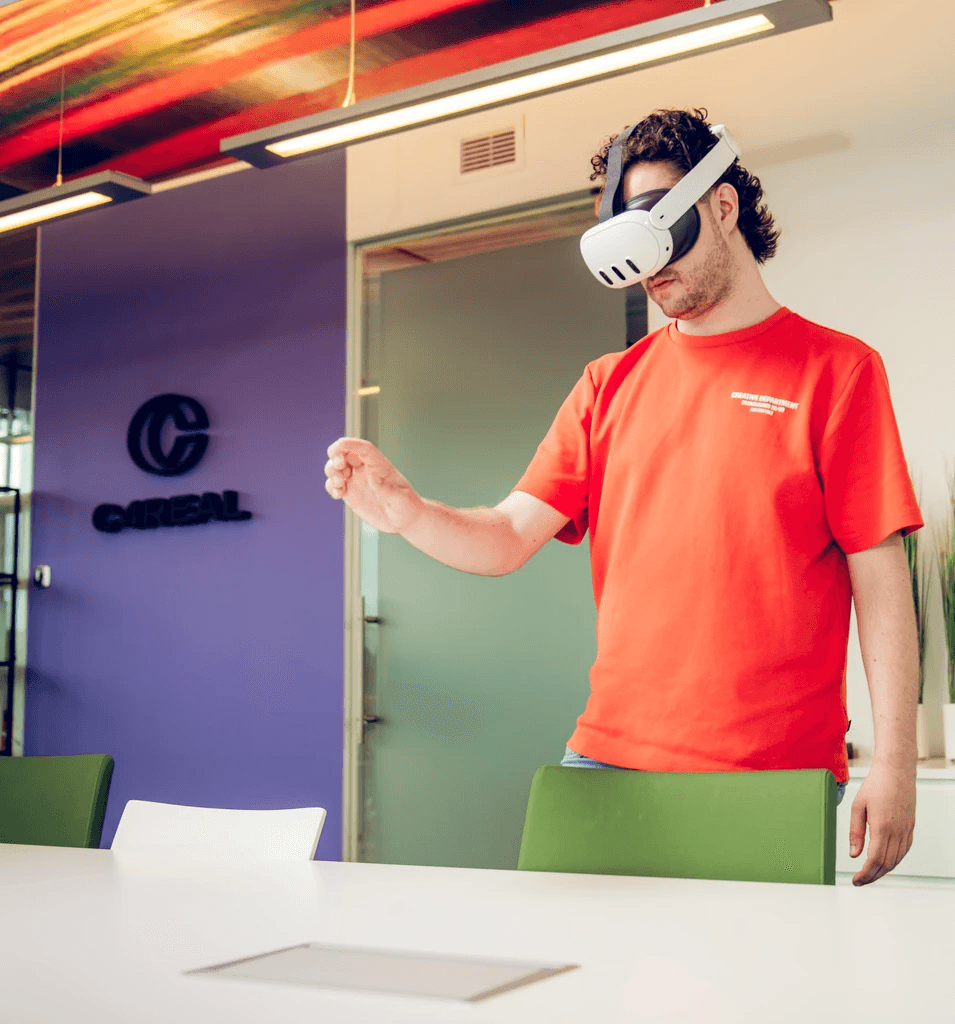
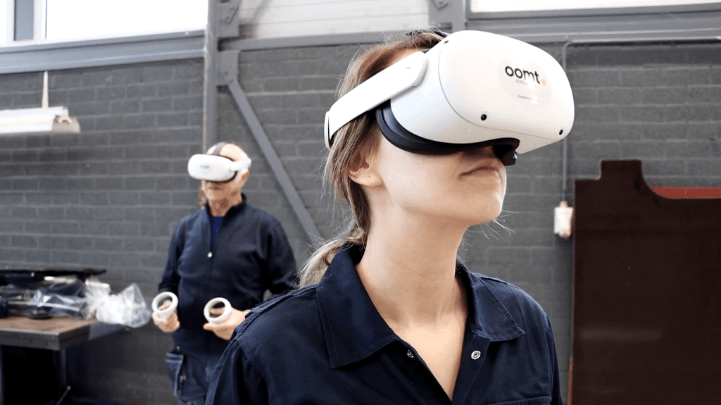
At C4Real, we use 3D animations and interactive visualisations to make geotechnology, marine systems, and offshore projects understandable for clients, investors, and technical teams. A 3D animation explains in just a few minutes how underground sensor technology or a marine system works. We prefer to work from existing technical data, CAD files, or sensor data: this makes the process more efficient and the end result more accurate.







Frequently asked questions
Answers to the most frequently asked
questions about marine and offshore visualisations
What are the benefits of 3D visualisation and VR for geotechnical and offshore companies?
Companies that use 3D animation see three benefits. More persuasive power: technology that normally remains invisible, such as underground sensor technology, is made visible for the first time. Faster market adoption: as with Fugro, where the launch of Gaia Insight immediately generated enquiries. Stronger international sales: at trade fairs, a visitor understands at a glance what a complex system does.
How do you make underground sensor technology visible for a market launch?
Sensor technology that literally works underground is, by definition, invisible to the customer. Fugro ran into this problem during the launch of Gaia Insight: how do you make visible what a sensor measures underground? C4Real developed a 3D animation showing how different types of geo-information are bundled, enabling users to make the right decisions more quickly. The result: many enquiries immediately after the launch.
How do you explain complex maritime systems to international customers?
A marine propulsion or control system is logical to an engineer, but often incomprehensible to a client at an international trade fair. RH Marine solved this with a 3D animation that brings the system to life step-by-step, using interactive and photorealistic images. As a result, visitors understand how the solution works at a single glance.
How do you use visualisation for an offshore wind project?
An offshore wind farm is built at a location that most stakeholders never visit. A 3D animation or interactive visualisation shows what the project will look like and what the impact will be, even before construction begins. This is relevant for investors, permitting authorities and future users.
How does a visualisation project at C4Real work?
C4Real works in two phases. In the first phase, concept and design, we translate the communication issue into a visual approach. We determine which format works best, which message is central, and how the target group can best be reached. At the end of this phase, C4Real delivers a concrete concept for the client to feedback on. Only then does the second phase begin: production. This approach keeps the scope clear, prevents surprises afterwards, and gives the client a say at a stage when adjustments are still easy to make.
How much does a 3D visualisation or VR experience cost for a visualisation project?
The costs depend on the complexity of the technology, the desired level of detail and the application. C4Real works with a menu of solution levels. Please contact us for an informal discussion.